Catastrophic fire danger and scorching temperatures one day to heavy rain and flooding the next for South Australia
The oppressive heat hammering parts of South Australia will go out with a bang on Friday ahead of...
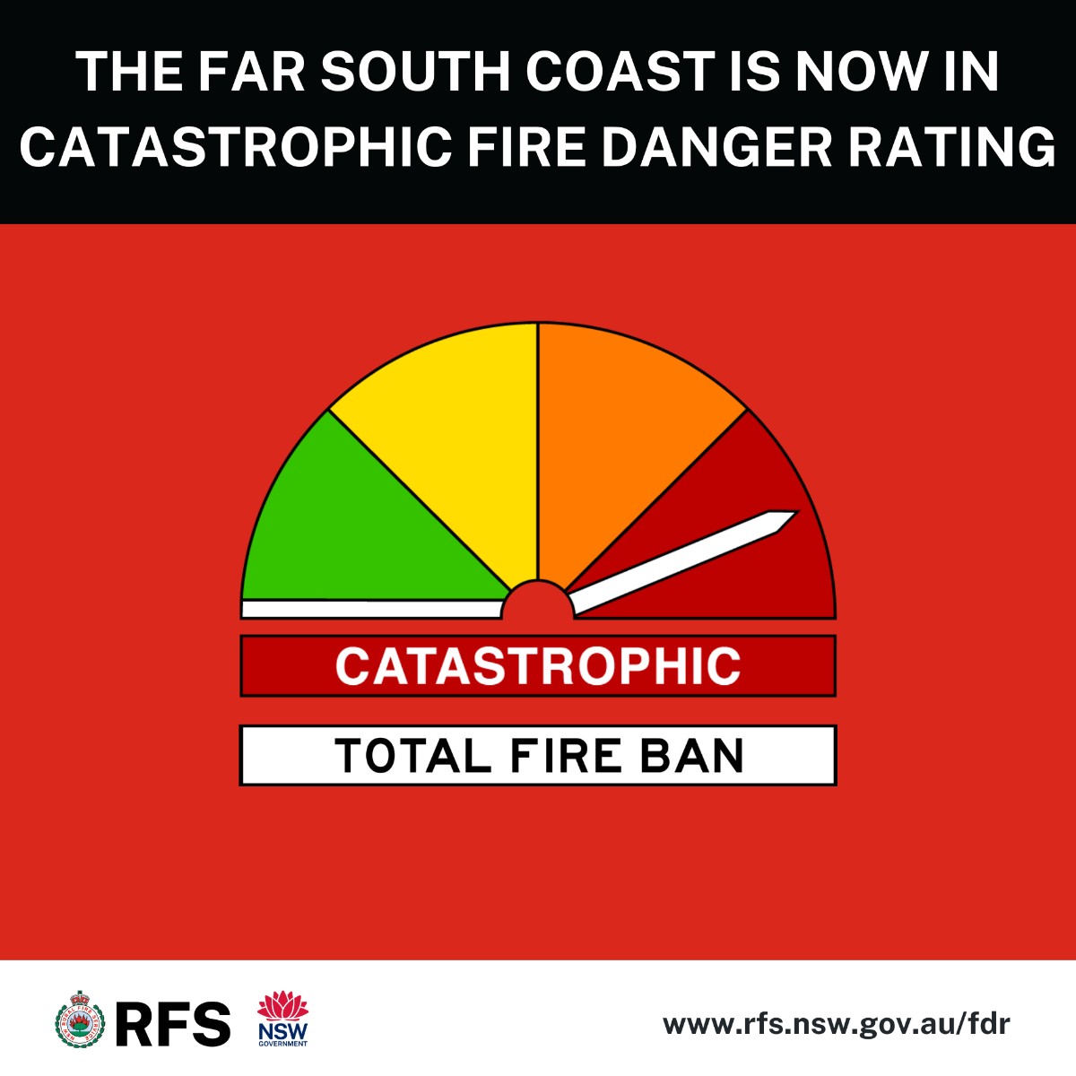
Much of NSW is seeing extreme temperatures across the state this week, with a catastrophic fire danger rating declared for the far South Coast this afternoon.
Greater Sydney and Hunter regions of NSW have both been given extreme fire danger ratings for Wednesday 20 September, with a total fire ban declared for the area for the first time in 3 years. A strong cold front sweeping across southern Australia is generating gusty northwesterly winds ahead of it, with gusts of 40-60km/h expected to develop across eastern NSW on Wednesday.
A plume of hot air originating from northwestern Australia is also being dragged down ahead of this system, leading to well above average maximum temperatures across eastern Australia. Sydney's expected maximum temperature on Wednesday is 34°C - more than 10°C above the September average. Newcastle’s expected top of 30°C is also 10° above the September average.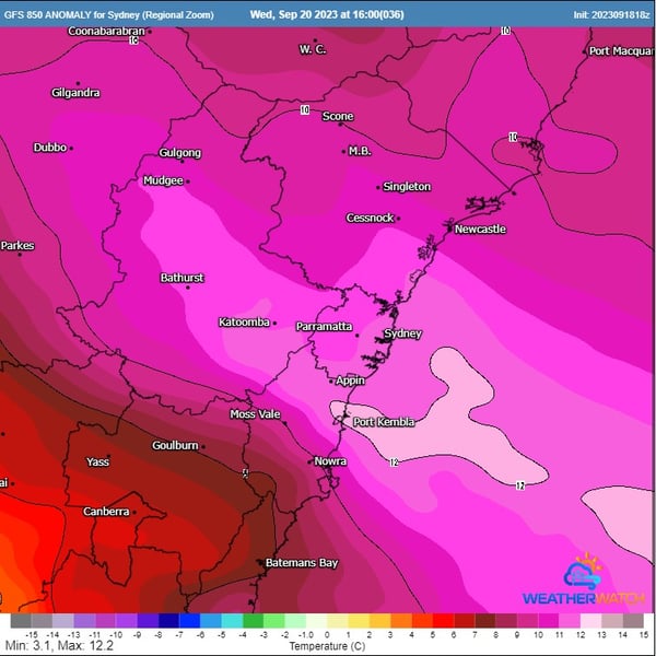
GFS 850 temperature anomaly for Sydney. Forecast for 4pm Wednesday 20th September 2023.
Gusty winds, coupled with these hot temperatures will be two factors leading to the increase in fire danger on Wednesday. High fuel loads reside across eastern NSW after a triple dip La Niña, and with dry conditions tomorrow, this will only help to enhance the threat of bushfires. With dew point temperatures expected to drop into the single digit range, there is little-to-no-moisture to inhibit any fires, making them extremely difficult to contain.
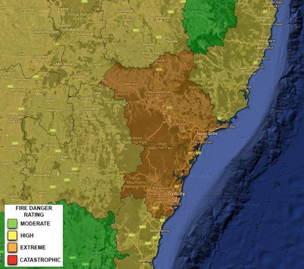
Extreme fire danger rating for Wednesday 20th September 2023
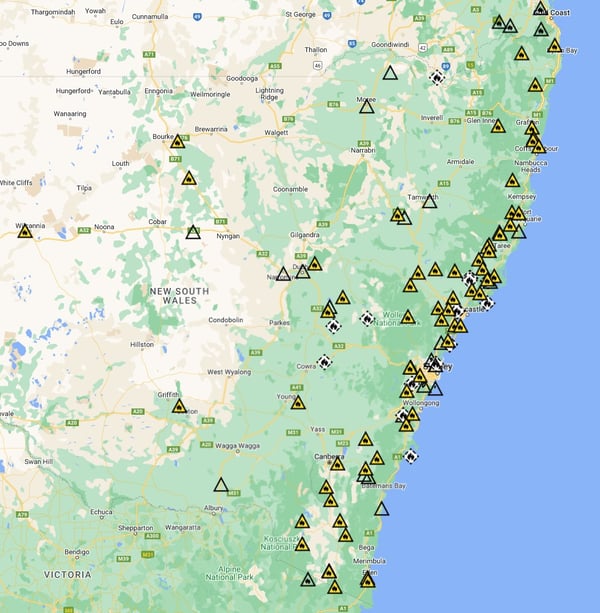
Fires currently ongoing across NSW. Valid 11:40am 19th September 2023. Image via NSWRFS
Meanwhile, a catastrophic fire danger has been issued for the far south coast of NSW today, causing a large number of school closures on the Far South Coast. Bega is forecast to have its third consecutive day in the mid-30s, smashing heat records for the region during September. Total fire bans have been declared for the NSW south coast and greater Sydney regions, with 61 fires burning across the state as at 9am today.
Large, populated areas will have the potential to come under threat tomorrow, as numerous fires are already burning across National Parks and high-density bushland.
Thankfully, this significant threat will be short-lived, with a gusty southerly change expected to move through on Thursday, and temperatures dropping back towards cooler September averages. A few showers may also develop late Thursday for coastal regions of NSW.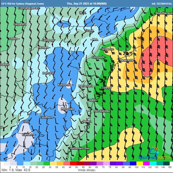
Southerly change sweeps up the NSW coast on Thursday. Image via WeatherWatch MetCentre
A number of councils work directly with Early Warning Network to offer SMS alerts for hazards and severe weather. Visit our Support & FAQ page to find out if your council offers this service, or chat to our team if you want to learn how we can help you.
The oppressive heat hammering parts of South Australia will go out with a bang on Friday ahead of...
Southeast Queensland, Australia, is bracing for severe weather conditions this week. The forecast...
“Heatwaves that have been deadly in the past will become much more likely and, in some cases,...