Severe storms to return to the east coast
A thunderstorm outbreak will commence on Wednesday afternoon for eastern Queensland and NSW -...
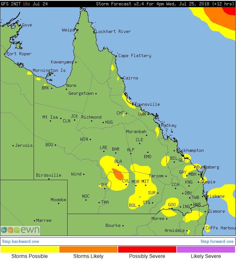
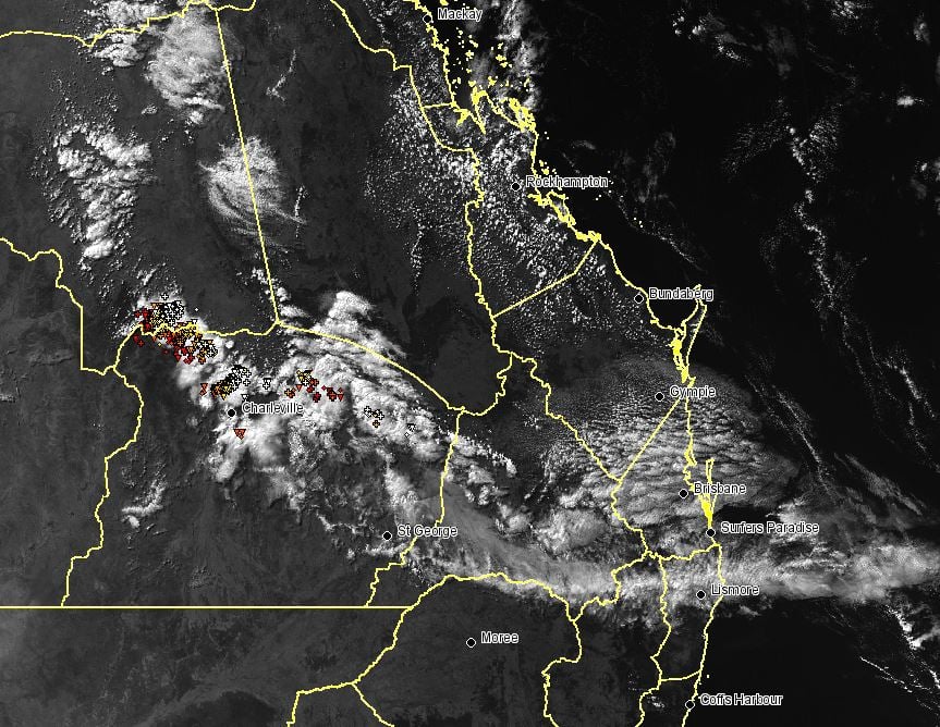
A large upper trough across Queensland led to unstable conditions through central and southern parts of the state on Wednesday, triggering showers and thunderstorms.
Isolated, tending scattered showers and thunderstorms developed in response to this feature across the Maranoa and Warrego region during the afternoon hours.
Sadly, rainfall totals remained generally light with Bakers Bend recording 10mm to 3pm, Dooloogarah 4.0mm and Joylands picking up 2.0mm.
Whilst Queensland isn?t noted for its thunderstorm activity during the winter months, when strong upper troughs move across the region in combination with warm day time temperatures, thunderstorms activity becomes possible.
This system will begin to shift off the QLD coast overnight and during Thursday before another upper level system moves in from the west late this week and into the weekend, when another round of thunderstorms are likely to develop.
Image 1, GFS thunderstorm probabilities, QLD 4pm.
A thunderstorm outbreak will commence on Wednesday afternoon for eastern Queensland and NSW -...
After knocking out power and damaging homes across Adelaide last night, a complex low pressure...
A volatile thunderstorm day will unfold across Victoria on Wednesday, with highly populated areas...