Gusty, warm conditions lead to increasing fire dangers for southern QLD and NSW
An advancing cold front will shift off the east coast of Australia today, with north-westerly winds...
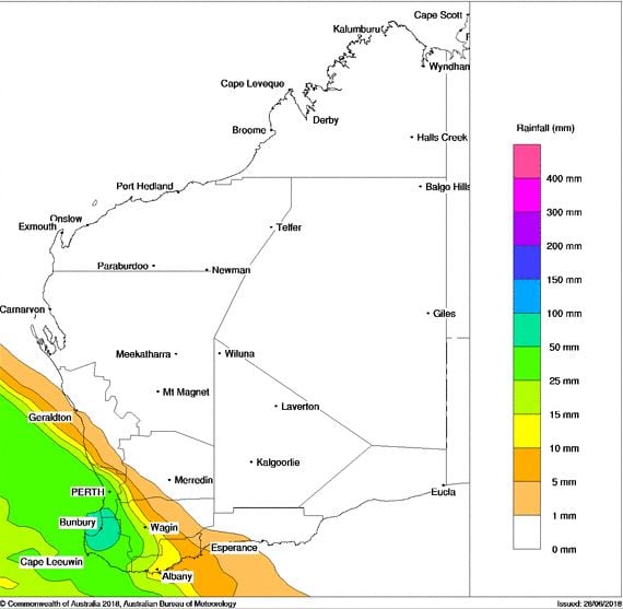
Strong north to north-westerly winds will lash the South West Land Division of Western Australia on Monday as a low and cold front approach the region.
A band of heavy rain and thunderstorms are expected to accompany the frontal system, with widespread falls of 20-40mm expected, isolated heavy falls above 50mm possible.
Thunderstorm activity may develop with the initial band during Monday, with further storm activity likely into Tuesday as an upper cold pool moves into the region. A couple of these storms may become severe with damaging wind gusts and small hail.
A secondary front is likely to move across the area during Wednesday, reinforcing gusty south-westerly winds and showery conditions across the south-west of the state.
Bureau of Meteorology rainfall forecast, Monday 2nd July 2018.
An advancing cold front will shift off the east coast of Australia today, with north-westerly winds...
Scattered, tending widespread thunderstorm activity lit up parts of inland WA, north-western NT and...
A low pressure system and strong cold front moved through the South West Land Division of Western...