Emergency bushfires, snow, and severe winds continue to impact NSW today
A stunning contrast in temperatures exists over NSW this afternoon, with an extremely hot airmass...
Confidence has increase for a significant snow event for parts of NSW, extending into the Blue Mountains, Northern Tableland and Granite Belt region of Queensland over the next 48-72 hours.
A very cold airmass will move into Victoria, NSW and southern QLD in the wake of a vigorous cold front on Wednesday, with 30-70cm of snow possible for parts of the Snowy Mountains, 10-20cm of snow possible further north around Guyra, Ben Lomond, Barrington Tops, and Oberon.
Alpine regions of Victoria are expected to see solid snow fall to begin with (10-30cm) however a moist-laden easterly airmass may lead to melting of snow accumulation with areas of heavy rain expected across the East Gippsland, northern and central parts of the state.
Higher elevations of the Granite Belt in southern Queensland may see graupel and snow flurries develop later Wednesday into Thursday with the potential for a light dusting to settle, particularly for areas of the Girraween National Park.
Image 1: EC snow accumulation next 5 days.
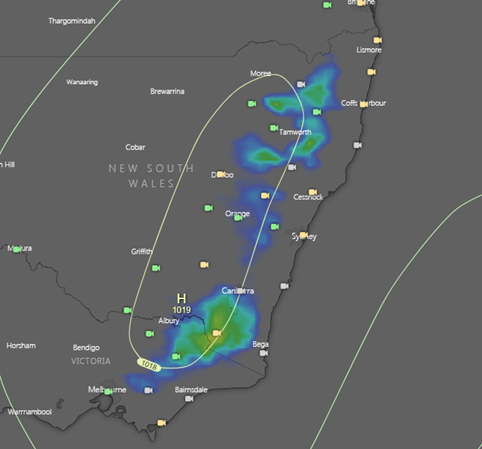 Image 2: Archive photo of the June 4th 2019 snow event in Guyra, NSW
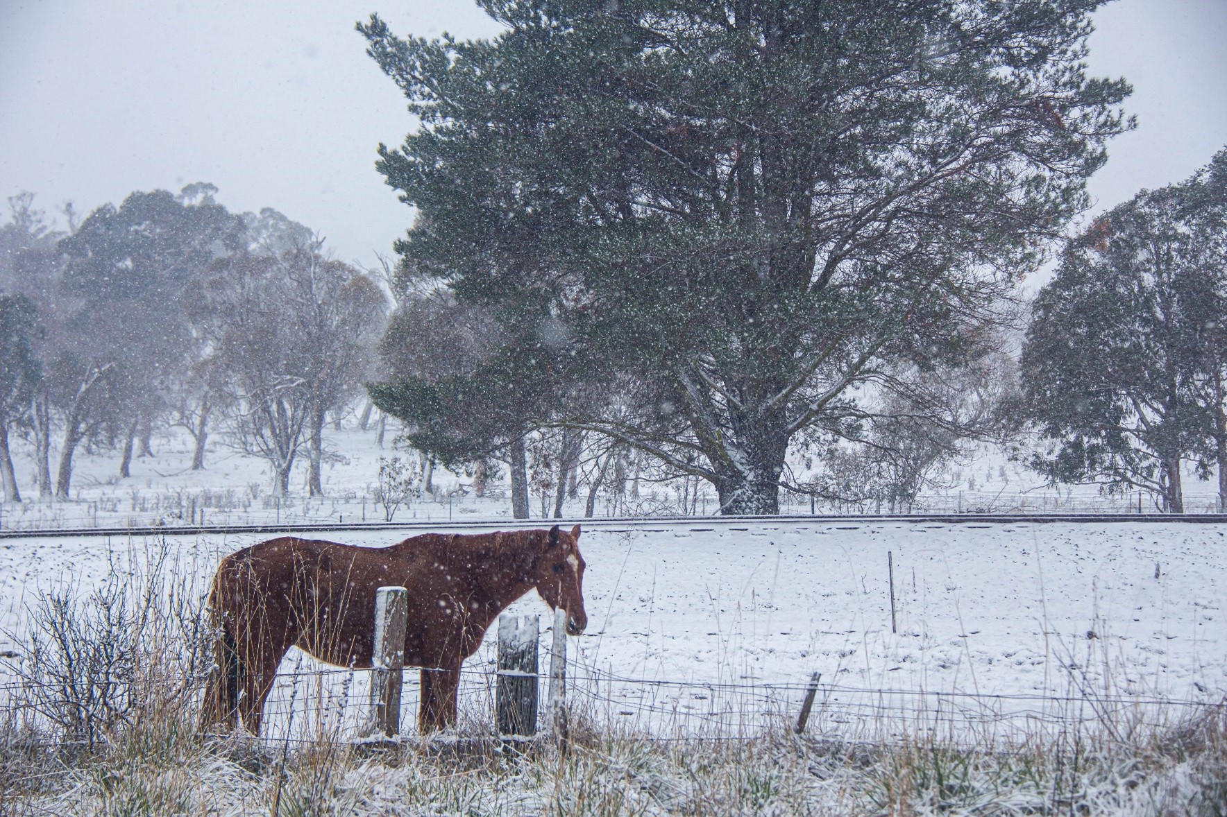
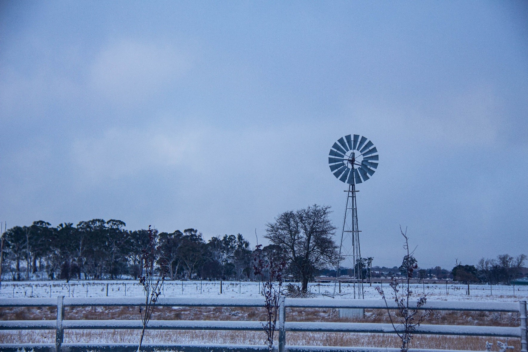 Image 3: Archive photo of the June 4th 2019 snow event in Guyra, NSW
A stunning contrast in temperatures exists over NSW this afternoon, with an extremely hot airmass...
Parts of New South Wales saw their worst August bushfire conditions in more than a decade...
A cut-off low is expected to bring damaging winds across southwest WA from tomorrow morning, with...