Widespread frost and fog over southeast Australia into next week
A large high will cause a run of settled weather and light winds across large parts of Australia's...
A strong cold front will sweep across the South West Land Division of WA this afternoon and overnight, producing a large band of showers and thunderstorm with its passage. Damaging winds of up to 100km/h may develop with shower and storm activity this evening and overnight.
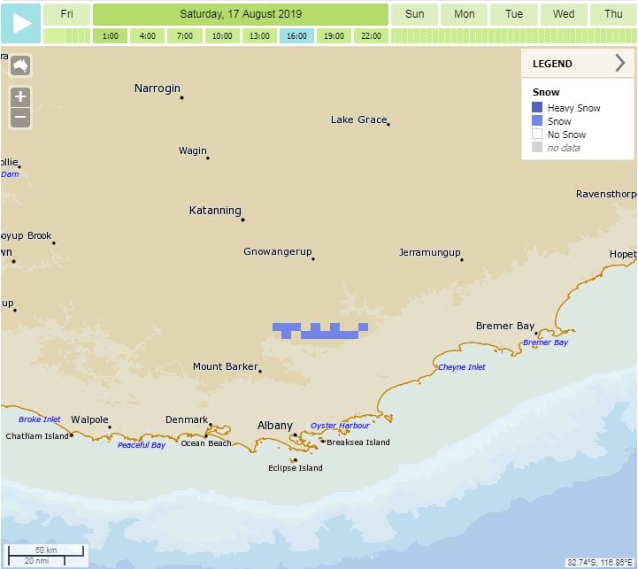
In the wake of this front, a very cold airmass will invade the region with small hail likely with shower and storm activity, along with the potential for a couple of centimetres of snow across the Stirling Ranges during Saturday morning.
Rainfall totals of 15-25mm are expected during the next 24hrs, providing perfect follow up rainfall from earlier this week.
A severe weather warning has been issued for the South West Land Division, extending from Lancelin in the Lower West, to Bremer Bay in the South Coast.
Image 1, EC rainfall totals next 24 hours via windy.com
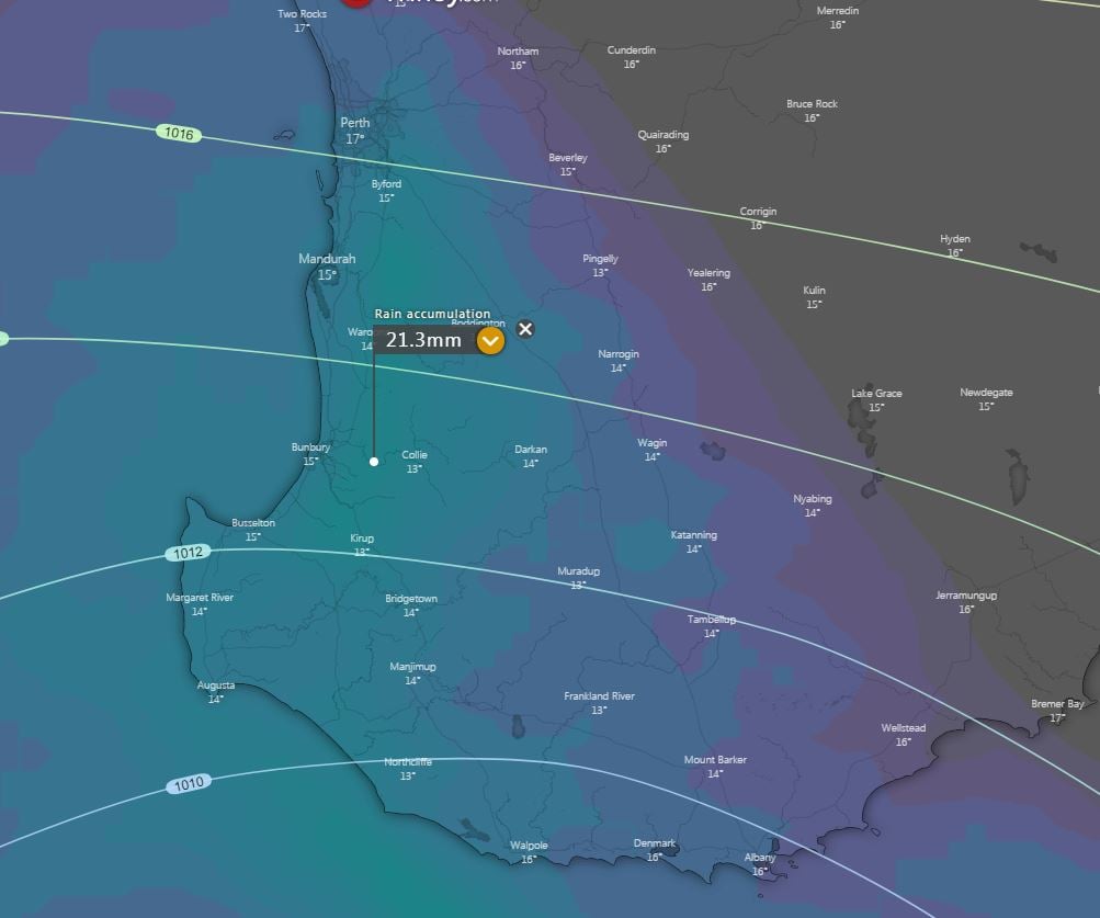 Image 2, BoM, current severe weather warning
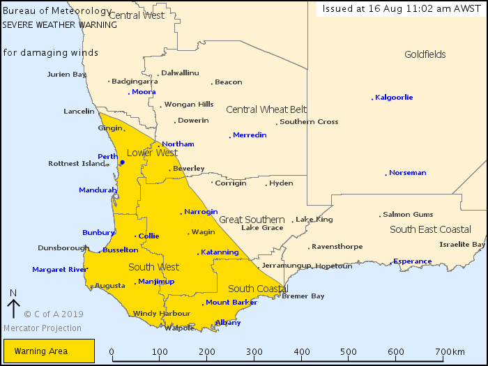 Image 3, BoM Access model showing small pixels of potential snow into Saturday morning
A large high will cause a run of settled weather and light winds across large parts of Australia's...
A volatile thunderstorm day will unfold across Victoria on Wednesday, with highly populated areas...
The second week of March is set to be a wet and stormy week for large portions of NSW and Southern...