La Niña is in full swing, as rainfall increases across Australia
For the past few months, Australia has been sitting in a La Niña phase however most of the rainfall...
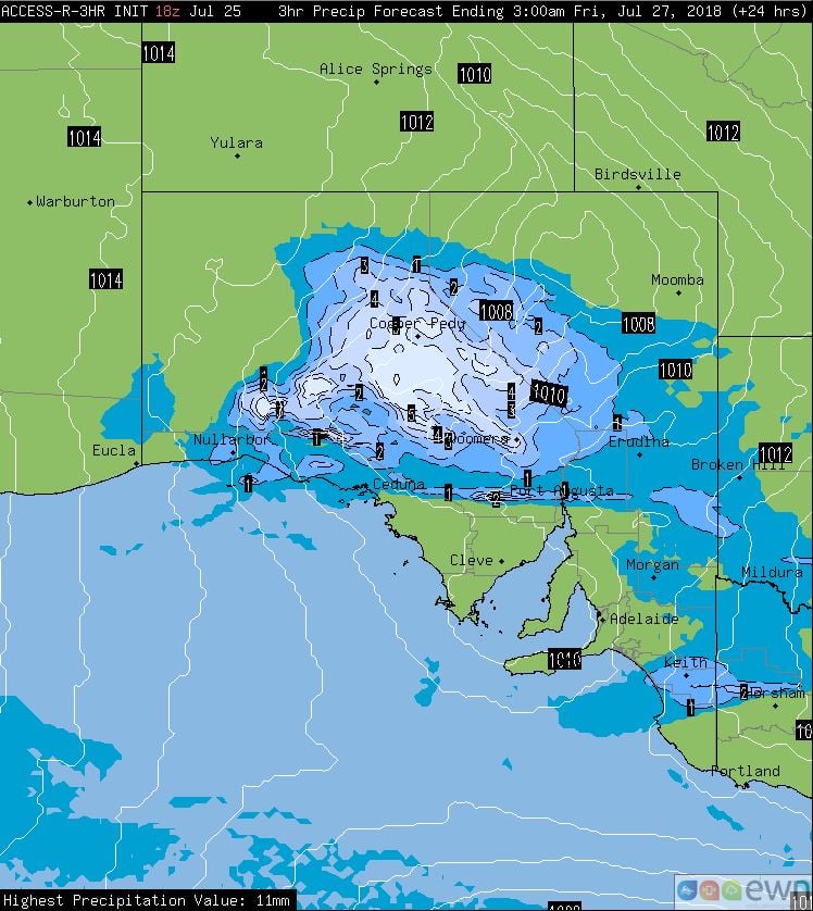
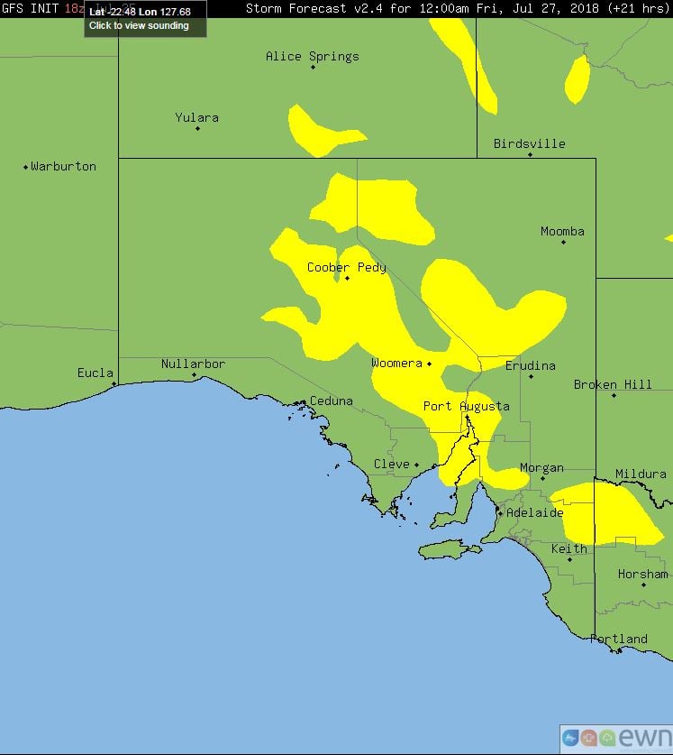
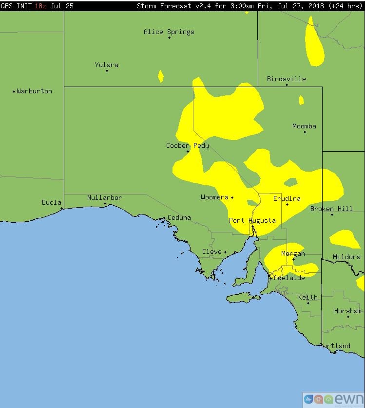
A low pressure system and upper cold pool of air is expected to track in a north-easterly direction across central and eastern parts of SA this afternoon and overnight, with showers, light rain periods and isolated gusty thunderstorms.
Very cold temperatures in the upper atmosphere are expected to provide weak instability for isolated thunderstorms during Thursday. Into the evening, a strengthening low-level jet is expected to help enhance high based thunderstorms across northern regions of the state where the potential will exist for localised damaging wind gusts.
Rainfall totals of less than 10mm are expected, however an isolated fall or two up to 20mm will be possible, particularly with any storm activity.
Conditions will gradually ease from the west overnight into Friday with fresh southerly winds moving into the region.
Image 1, Access R 3 hour total precipitation. Image 2 and 3, GFS storm potential overnight Thursday into Friday.
For the past few months, Australia has been sitting in a La Niña phase however most of the rainfall...
Scattered thunderstorm activity is expected to return to eastern NSW on Friday afternoon,...
A dynamic weather situation is unfolding across southern and eastern Australia, as a upper level...